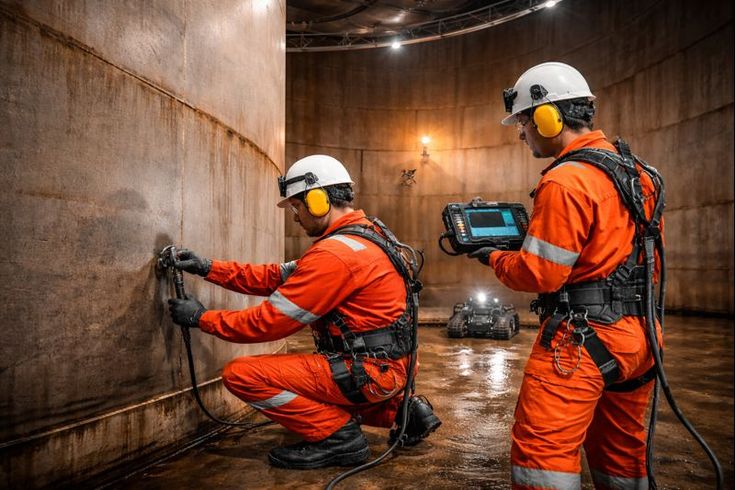
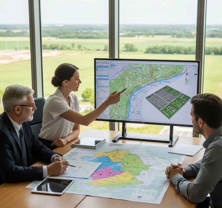
TNC Architects delivers precise boundary surveys — plot demarcation, corner pillar marking, khasra verification and legal boundary reports — for residential plots, agricultural land, commercial sites and court proceedings across Ajmer and Rajasthan.
A boundary survey is not simply a measurement — it is the legal definition of what you own. Plot corners, khasra alignment, encroachment status, shared wall positions and registered deed dimensions are all verified on the ground, recorded with precision instruments and certified in a report that holds legal weight in Rajasthan courts and municipal offices.
TNC Architects conducts boundary surveys for residential plots, agricultural khasra land, commercial sites, colony layouts and dispute resolution proceedings — delivering AutoCAD boundary plans, corner-marked site photographs and signed boundary reports accepted by patwari, tehsildar and municipal authorities across Rajasthan.
On-ground marking of all plot boundaries as per registered sale deed and revenue records — corners confirmed, distances measured and deviations documented.
Physical concrete boundary pillars fixed at all plot corners with survey nails — each corner geo-tagged and photographed for the certified boundary report.
Agricultural khasra boundary verification against patwari records and jamabandi data — field dimensions reconciled with recorded khasra area and adjoining plot positions.
Identification of encroachments on your plot or by your structure onto neighbouring land — measured, mapped and documented for legal or municipal use.
Full colony or scheme boundary marking — individual plot demarcation, road widths, common area boundaries and open space extents mapped in AutoCAD for authority submission.
Court-admissible boundary surveys for civil property disputes — measurements, photographs and a signed surveyor's report prepared for submission as evidence.
Family property partition surveys — existing plot measured, agreed division lines set on the ground, individual share areas confirmed and separate boundary plans issued.
Field dimensions compared against sale deed, gift deed or patta records — discrepancies measured and reported with recommendations for regularisation or correction.
Property disputes, construction setback violations and encroachment claims almost always stem from unchecked boundary assumptions. TNC Architects locates every corner, checks every dimension and reconciles field measurements against registered documents before any construction or legal action is taken — giving you a position grounded in fact, not assumption.
All boundary corners measured with Electronic Total Station and DGPS — accurate to centimetre level, with all readings recorded and cross-checked against revenue records.
Precise boundary layout drawn in AutoCAD — all plot dimensions, corner coordinates, adjacent road widths and neighbouring plot positions shown and issued as editable .dwg with PDF.
Certified boundary survey report with field measurements, deed comparison, corner photographs and surveyor's signature — accepted by patwari, tehsildar, municipal body and courts.
Rajasthan's land records vary by region — from urban UDH-registered plots in Ajmer city to agricultural khasra parcels in rural tehsils with older patwari records. TNC Architects applies the correct instrument, revenue record and verification method for each site type — ensuring boundary positions are accurate whether the project is a single residential plot or a multi-acre colony layout.
High-precision Total Station used for all plot corner measurements — angles and distances recorded digitally, eliminating manual reading errors common in tape surveys.
Field measurements verified against patwari khasra, jamabandi, registered deed and municipal sanctioned plan — discrepancies identified and documented in the survey report.
All boundary data processed and issued as AutoCAD boundary plans, corner-marked photographs, PDF reports and a signed boundary survey certificate within the agreed programme.


Registered sale deed, khasra nakal, jamabandi, municipal sanctioned plan and any existing survey records collected and reviewed before fieldwork begins.
Total Station measurements taken at all plot corners — boundary lines confirmed on the ground, corner pillars fixed and geo-tagged photographs taken at each point.
Field data processed into AutoCAD boundary plan — dimensions reconciled against deed and revenue records, discrepancies noted and area calculation confirmed.
Signed boundary survey report, AutoCAD .dwg plan, corner photographs and PDF certificate issued to client — ready for patwari, municipal body or court submission.
All corners measured with Electronic Total Station — centimetre-level precision, not tape-and-estimate, so your boundary position is grounded in surveyed fact.
All boundary plans delivered as editable AutoCAD files — architects, lawyers and consultants can use them directly without redrawing or re-measuring.
Patwari records, jamabandi data, UDH plot registers and municipal approved plans — TNC Architects understands the full Rajasthan land record system and reconciles every survey to it.
TNC Architects is both boundary surveyor and design architect — boundary data flows directly into building setback design and plot layout planning without any handover gap.
Complete survey service — topographic, DGPS, boundary, hydrological and managed surveys.
Explore →Accurate contour plans, spot levels, cross-sections and T.S. drawings for any site type.
Explore →Differential GPS survey for large sites, road alignments and geo-referenced land parcels.
Explore →Catchment analysis, drainage study, flood mapping and water resource assessment.
Explore →Full architectural design package for all building and project types.
Explore →New construction, renovation and turnkey project delivery.
Explore →Full project management — programme, cost control and on-site supervision.
Explore →Property, bank and government valuation reports for all asset types.
Explore →
Consult TNC Architects today — Ajmer's trusted survey and design practice since 2021.