TNC Architects delivers accurate topographic surveys — contour plans, spot levels, cross-sections and T.S. drawings — for residential plots, commercial sites, farm land and infrastructure projects across Ajmer and Rajasthan.
A topographic survey is not simply a boundary measurement — it is a precise record of the land's three-dimensional form. Existing levels, contours, slopes, drainage directions, trees, structures and utilities are all captured and translated into a scaled drawing set that architects, engineers and contractors rely on.
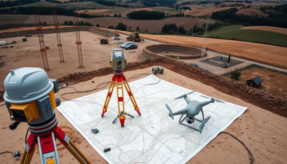
TNC Architects uses total station instruments and GPS equipment to produce accurate T.S. topographic drawings — contour plans, spot level grids, long-sections and cross-sections — delivered as AutoCAD drawings and PDF reports for immediate use in design.
Full site contour map at 0.5m or 1m intervals — showing the three-dimensional shape of the land in a scaled 2D plan used by all designers.
Dense grid of measured ground levels across the entire site — essential for calculating earthwork volumes, cut-and-fill quantities and drainage design.
Individual plot surveys for home construction — levels, site boundary, utility positions and neighbouring structure positions recorded for the architect.
Large commercial and industrial site surveys — full topographic coverage delivered as geo-referenced AutoCAD drawings with level data.
Road, drain and infrastructure alignment sections — plan, long-section and cross-sections produced to engineering specification for approval submission.
Farm land surveys for irrigation channel design, field levelling, bund layout and water harvesting — covering large areas efficiently with GPS equipment.
All survey data issued as editable AutoCAD (.dwg) drawings and PDF reports — ready to import directly into architectural and structural design software.
Cut-and-fill volume calculations derived from the survey — enabling accurate contractor pricing before any earthmoving begins on site.
Most construction errors begin with assumptions about ground levels. TNC Architects measures every site with calibrated total station instruments before any design decision is made — so every slope, drainage fall and earthwork volume is documented and agreed before tender.
Survey-grade total station instruments used for all measurements — providing millimetre-level accuracy for levels and coordinates across the entire site.
Site plan, contour drawing, spot level grid, long-sections and cross-sections — all produced in AutoCAD and delivered as editable drawings with a PDF report.
Signed survey report with benchmark data, coordinate system used and accuracy statement — accepted by municipal authorities and lending institutions.
Rajasthan's variable terrain — from flat agricultural plots to undulating hill sites — demands a flexible approach to topographic survey. TNC Architects uses both total station and GPS equipment to deliver accurate results across any site size, topology or access condition.
Leica and Trimble-class instruments used for all site work — delivering ±5mm vertical accuracy and geo-referenced coordinate data for any plot size.
Permanent benchmarks established on every site — tied to national datum where required — so all future construction works can be set out from known fixed points.
Survey data processed in AutoCAD Civil 3D — delivered as geo-referenced .dwg files, PDF drawings and a bound survey report within the agreed programme.


Site visited to assess size, access, terrain type and benchmark availability before instruments are mobilised.
Total station and GPS used to record all ground levels, spot levels, existing features and boundary positions across the site.
Field data processed and drawn in AutoCAD — contour plan, spot level grid, sections and site plan produced to client specification.
Signed survey report, AutoCAD .dwg files and PDF drawings issued to client and design team for immediate use in project design.
Total station and GPS equipment calibrated to national standards — delivering millimetre accuracy on every site regardless of size or terrain type.
All surveys delivered as editable AutoCAD drawings — architects, engineers and contractors can work directly from the files without any redrawing.
Rajasthan's varied terrain surveyed since 2021 — from Ajmer's rocky outcrops to Thar plains — with local knowledge of datum points and bench marks.
TNC Architects is both surveyor and designer — survey data integrates directly into architectural drawings, eliminating translation errors between teams.
Complete survey service — topographic, DGPS, boundary, hydrological and managed surveys.
Explore →Differential GPS survey for large sites, road alignments and geo-referenced land parcels.
Explore →Legal boundary demarcation and plot survey — confirming ownership extents before construction.
Explore →PHD hydrological survey for water resources, drainage and irrigation planning.
Explore →Full architectural design package for all building and project types.
Explore →New construction, renovation and turnkey project delivery.
Explore →Full project management — programme, cost control and on-site supervision.
Explore →Property, bank and government valuation reports for all asset types.
Explore →
Consult TNC Architects today — Ajmer's trusted survey and design practice since 2021.